📚 Syllabus & Course Curriculum
Data Science & Analytics
Module-by-module breakdown of Flood Susceptibility Mapping: Model Design, from foundations to a certified capstone project.
Outline
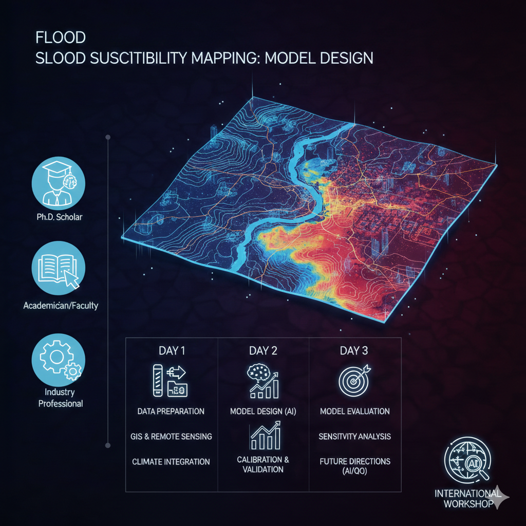
Leverage advanced spatial stratigraphy with MCDA and high‑resolution DEMs • Integrate CMIP6 climate projections and satellite altimetry into susceptibility frameworks • Generate topographic morphometry layers through automated GIS pipelines
Outline
Compare traditional Frequency Ratio & Weight of Evidence with modern ML ensembles • Deploy Random Forest, SVM, and XGBoost for spatial classification • Optimize hyper‑parameters using Bayesian optimization techniques • Implement Neuro‑Fuzzy and CNN models for complex flood pattern recognition
Outline
Interpret ROC curves and AUC for robust model assessment • Conduct sensitivity analysis using Jackknife and Sobol indices • Quantify uncertainty through error propagation and Monte Carlo simulation • Scale models for real‑time monitoring and Early Warning System integration
Earn government-registered certification in Flood Susceptibility Mapping: Model Design
e-Certificate and e-Marksheet issued on successful completion.