📚 Syllabus & Course Curriculum
Agriculture & Food Technology
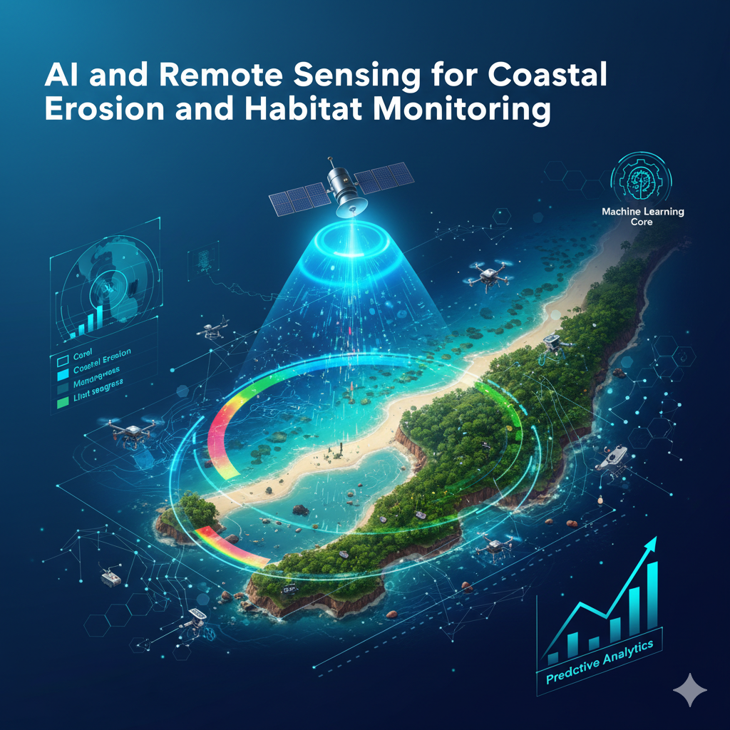
Module-by-module breakdown of AI and Remote Sensing for Coastal Erosion and Habitat Monitoring, from foundations to a certified capstone project.
Outline
Understand coastal climate risks and remote‑sensing fundamentals • Analyze Sentinel & Landsat imagery for shoreline extraction • Build machine‑learning models to detect erosion and change
Outline
Classify marine habitats such as coral, mangroves, and seagrass using ML • Detect coral‑reef health with computer‑vision techniques • Deploy AI‑powered AUV data pipelines for underwater analytics
Outline
Create time‑series models to forecast habitat loss • Generate AI‑based biodiversity maps for fisheries management • Design decision‑support dashboards for coastal restoration projects
Earn government-registered certification in AI and Remote Sensing for Coastal Erosion and Habitat Monitoring
e-Certificate and e-Marksheet issued on successful completion.