Programme Parameters
Graduate / Intermediate
3 Days (4.5 Hrs)
Online (e-LMS)
• A basic understanding of the subject area and fundamental programming or scientific concepts.
• A laptop or desktop with a stable internet connection.
• Willingness to complete assignments and the capstone project.
About This Course
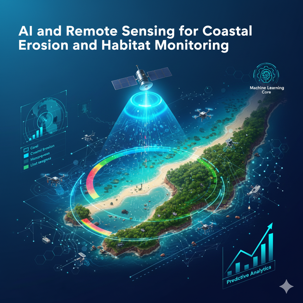
The International Course on AI and Remote Sensing for Coastal Erosion and Habitat Monitoring focuses on applying artificial intelligence and satellite data analytics to address coastal climate challenges. Every participant receives a verified e-Certificate and e-Marksheet from the Deep Science & Technology Consortium.
🎯 Program Aim
The International Course on AI and Remote Sensing for Coastal Erosion and Habitat Monitoring focuses on applying artificial intelligence and satellite data analytics to address coastal climate challenges.
📋 Course Objectives
1. Translate AI Enablement theory into practical, reproducible analysis.
2. Assemble a documented case study that evidences your applied capability.
👥 Who Should Enroll?
• Master's and senior undergraduate students specializing in AI Enablement
• R&D engineers and working professionals applying AI Enablement in industry
• Academics and educators building research or teaching capacity in AI Enablement
🚀 Key Learning Outcomes
• A portfolio-grade AI Enablement deliverable you can defend and extend.
• A verified e-Certificate of competency and e-Marksheet from the Deep Science & Technology Consortium.
💎 What You'll Gain
Live & Recorded Sessions
Lifetime access to class recordingse-Certificate on Completion
Cryptographically verified credentialPost-Programme Support
Direct access to mentors & councilHands-On Experience
Notebooks, real-world code & datasetsCurriculum Outline
Day 1: AI for Coastal Erosion Monitoring
Understand coastal climate risks and remote‑sensing fundamentals • Analyze Sentinel & Landsat imagery for shoreline extraction • Build machine‑learning models to detect erosion and change
Day 2: AI for Marine Ecosystem & Coral Monitoring
Classify marine habitats such as coral, mangroves, and seagrass using ML • Detect coral‑reef health with computer‑vision techniques • Deploy AI‑powered AUV data pipelines for underwater analytics
Day 3: Predictive Modeling & Sustainable Marine Management
Create time‑series models to forecast habitat loss • Generate AI‑based biodiversity maps for fisheries management • Design decision‑support dashboards for coastal restoration projects
Technical Specifications
| Parameter | Requirement |
|---|---|
| Covered Tool / Platform | Sentinel |
| Covered Tool / Platform | Landsat |
| Covered Tool / Platform | Python |
| Covered Tool / Platform | TensorFlow |
| Covered Tool / Platform | Scikit-learn |
| Covered Tool / Platform | QGIS |
| Covered Tool / Platform | ArcGIS |
| Covered Tool / Platform | Google Earth Engine |
| Covered Tool / Platform | OpenCV |
| Covered Tool / Platform | PyTorch |
Frequently Asked Questions
Scholar Feedback & Reviews
Based on 0 scholar submissions
Rating Breakdown
No verified reviews published yet. Be the first to share your academic experience.
Leave Scholar Feedback
Your rating will help prospective scholars. Ratings below 3 stars are routed privately to the faculty mentor for immediate response.