Programme Parameters
Advanced Postgrad
4 Weeks (40 Hrs)
Online (e-LMS)
• Prior working knowledge of the field and comfort with core tools and quantitative reasoning.
• A laptop or desktop with a stable internet connection.
• Willingness to complete assignments and the capstone project.
About This Course
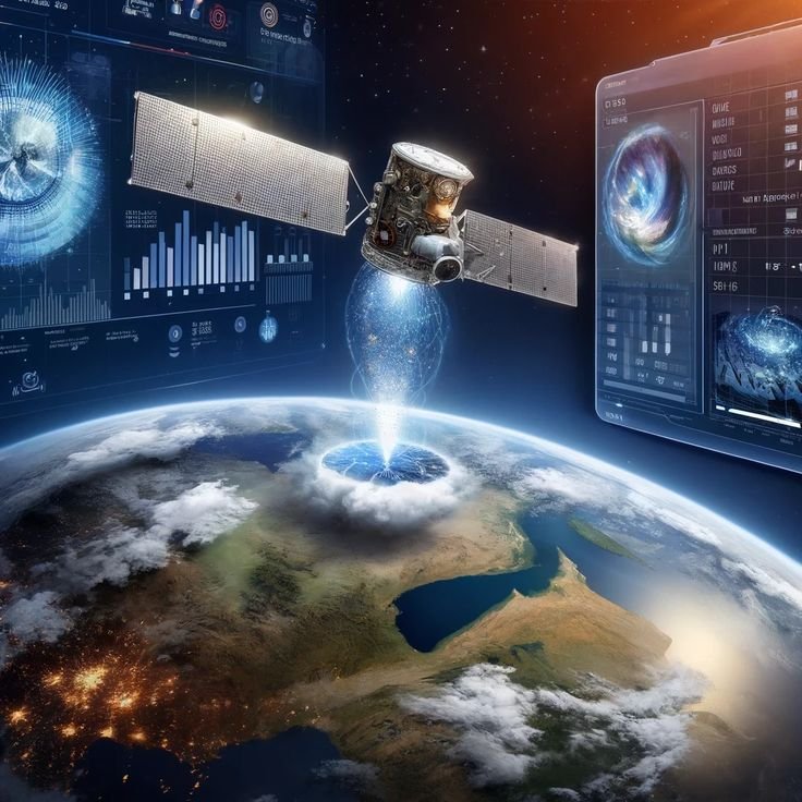
AI in Remote Sensing: Basics is an accessible introduction to applying machine learning to Earth-observation data. You learn how remote-sensing imagery works — spectral bands and indices — and the core AI tasks: classifying land cover, detecting change and features, and mapping environmental conditions from satellite and aerial data. The course introduces the methods at a foundational level and connects them to real uses in agriculture, environment and urban monitoring, without assuming prior expertise. You finish with a solid grounding in AI-driven remote sensing. A verified e-Certificate of competency and e-Marksheet from the Deep Science & Technology Consortium.
🎯 Program Aim
This foundational course covers AI in remote sensing — how machine learning analyses satellite and aerial imagery for land, environment and resource monitoring.
📋 Course Objectives
1. Understand spectral bands and indices.
2. Classify land cover from imagery.
3. Detect change and features with AI.
4. Map environmental conditions.
5. Connect methods to real monitoring uses.
👥 Who Should Enroll?
• GIS and remote-sensing newcomers
• Environmental and earth-science students
• Agri-tech and land-use professionals
• Anyone entering geospatial AI
🚀 Key Learning Outcomes
• A foundational grasp of AI in remote sensing.
• The ability to follow the field’s methods.
• A springboard to geospatial analysis.
• A verified e-Certificate of competency and e-Marksheet from the Deep Science & Technology Consortium.
💎 What You'll Gain
Live & Recorded Sessions
Lifetime access to class recordingse-Certificate on Completion
Cryptographically verified credentialPost-Programme Support
Direct access to mentors & councilHands-On Experience
Notebooks, real-world code & datasetsCurriculum Outline
Introduction to Remote Sensing and AI
What is Remote Sensing? • Role of AI in Earth Observation • Types of Remote Sensing Data: Satellite, Drone, and Sensors • Applications of AI in Remote Sensing
Understanding Remote Sensing Data
Images, Pixels, and Geospatial Data • Types of Satellite Imagery • Basics of Spatial and Temporal Data • Importance of Data Quality
AI Applications in Remote Sensing
Land Use and Land Cover Classification • Environmental Monitoring and Change Detection • Agriculture and Crop Monitoring • Disaster Detection and Risk Assessment
Benefits and Challenges
Advantages of AI in Remote Sensing • Handling Large-Scale Data • Accuracy and Limitations • Ethical and Responsible Use
Future Scope and Learning Path
AI in Climate Monitoring and Smart Cities • Emerging Trends in Geospatial AI • Career Opportunities in Remote Sensing and AI • Mini Learning Activity / Concept-Based Practice
Technical Specifications
| Parameter | Requirement |
|---|---|
| Covered Tool / Platform | Artificial Intelligence |
| Covered Tool / Platform | Remote Sensing |
| Covered Tool / Platform | Satellite Imaging |
| Covered Tool / Platform | Geospatial Data |
| Covered Tool / Platform | Image Analysis |
Frequently Asked Questions
Scholar Feedback & Reviews
Based on 0 scholar submissions
Rating Breakdown
No verified reviews published yet. Be the first to share your academic experience.
Leave Scholar Feedback
Your rating will help prospective scholars. Ratings below 3 stars are routed privately to the faculty mentor for immediate response.